


Description
Nope, that’s not a typo – this set contains 550+ New Zealand map labels! From Cape Reinga at the top, down through our quirky little towns and big cities to Invercargill, we’ve got you covered!
This set of labels is designed to match perfectly with your large classroom wall map – laminate your own selection of labels, then use string to link them to the map. This resource comes complete with task cards to get your class thinking more deeply about their little corner of Aotearoa & what makes it special.
INCLUDED IN THIS RESOURCE:
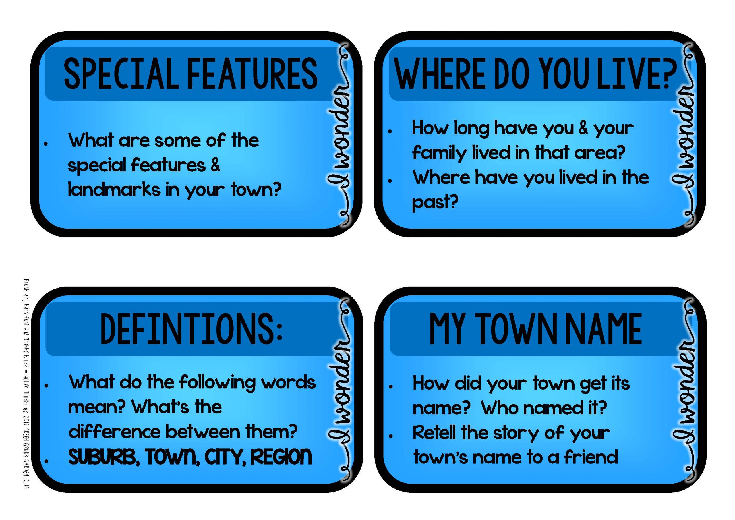
25+ mini task cards to encourage further thinking about their corner of NZ & what makes it special. Examples include questions such as:
- Where do you live? How long have you & your family lived in that area? Where have you lived in the past?
- Is your town’s official name in Māori or English? If it’s English, does it also have an original Māori name? What does the name mean?
- What’s the population of your town? Which city in NZ has the biggest population?
- What parts of NZ have you visited? Where would you most like to go? Why?
- Does your town have a special maunga or awa? (mountain or river)
Large general display headings:
-
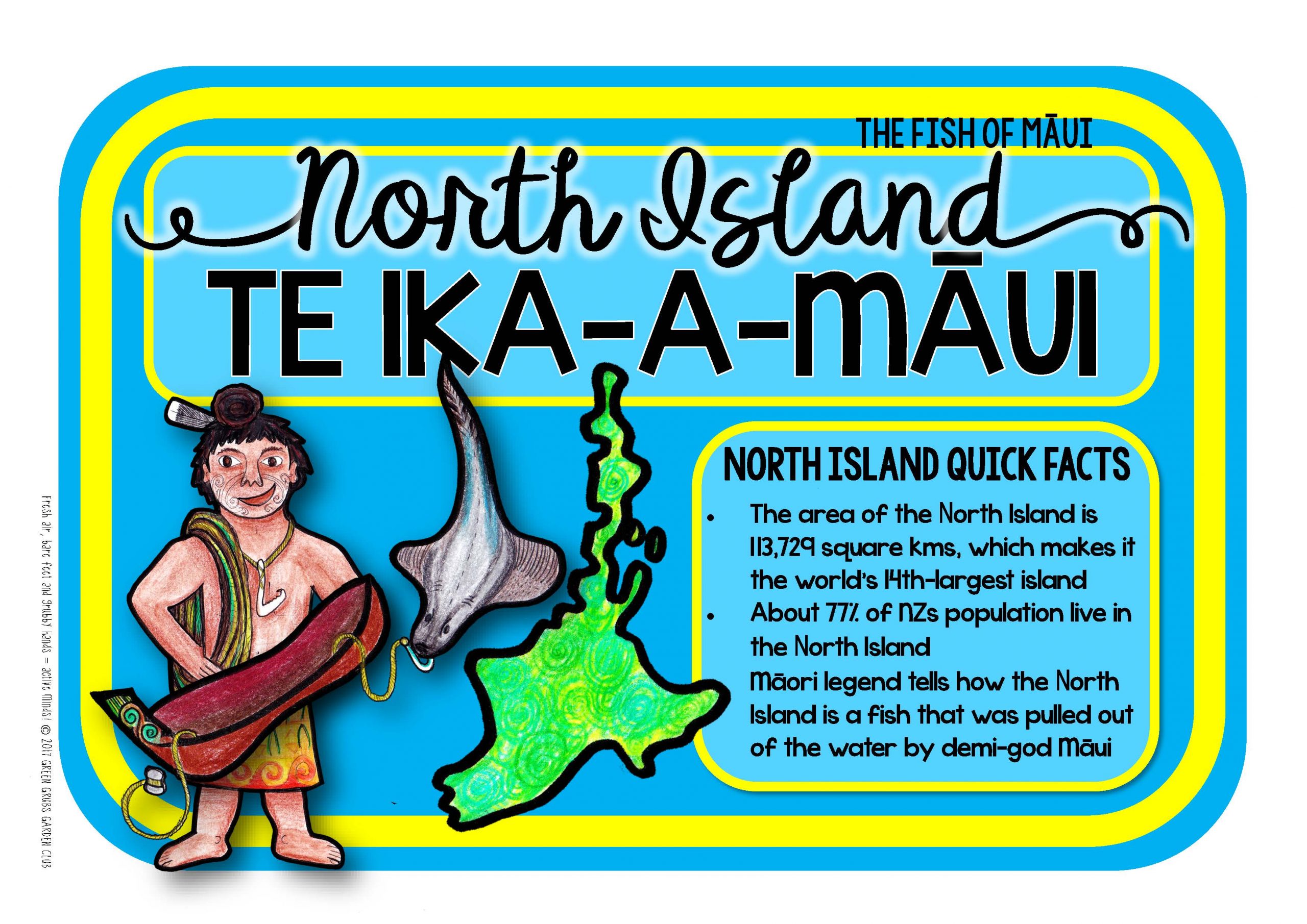
New Zealand/Aotearoa
-
North Island/Te Ika-a-Māui
-
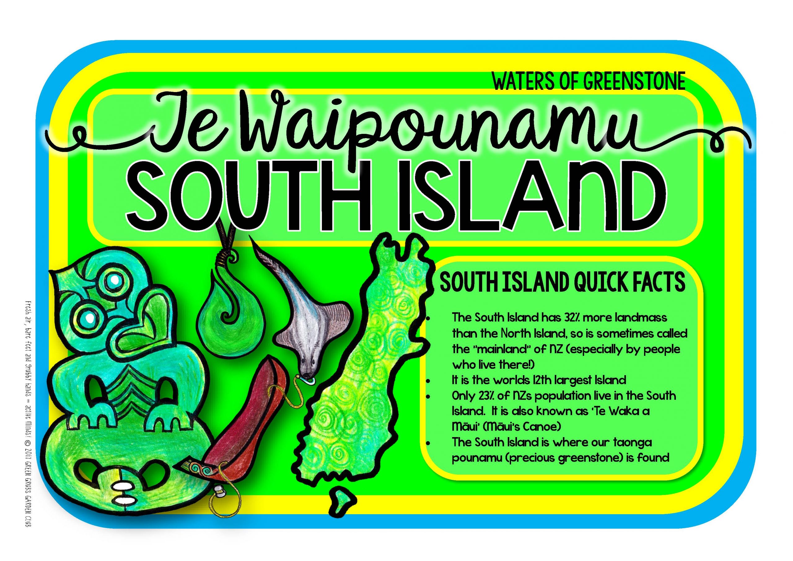
South Island/Te Wai Pounamu
-
Basic outline of NZ, A4 sized (black line and colour)
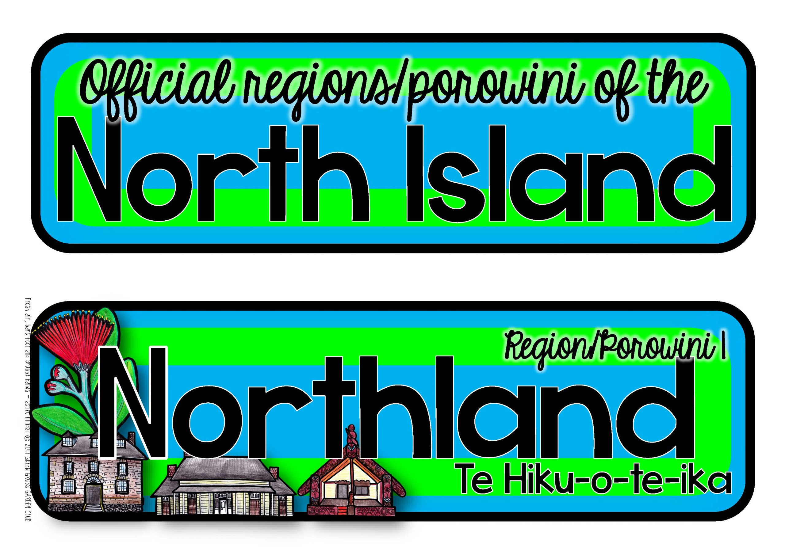
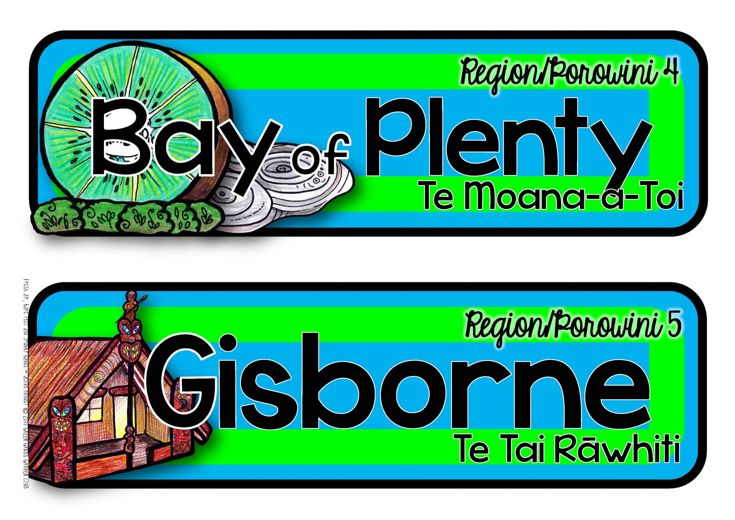
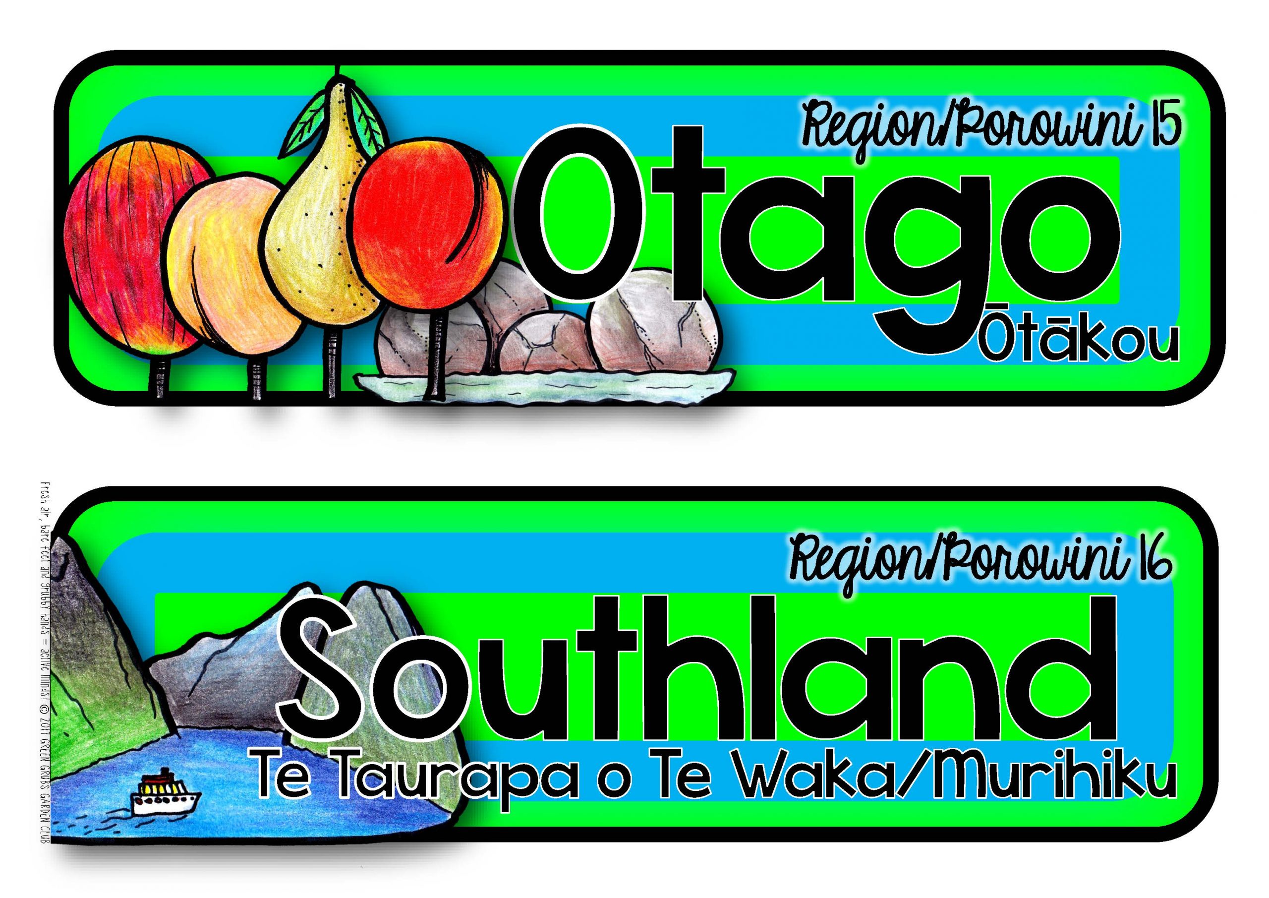
Large illustrated labels for our 16 official regions/porowini:
-
Northland, Auckland, Waikato, Bay of Plenty, Gisborne, Hawke’s Bay, Taranaki, Manawatu-Wanganui (*please note the official version of this REGION still uses the spelling ‘Wanganui’ without the ‘H’, whereas the CITY uses ‘Whanganui’), Wellington, Tasman, Nelson, Marlborough, West Coast, Canterbury, Otago & Southland.
-
The official regions also include their Māori names where applicable
Large illustrated labels for our 15 most populous urban areas:
-
Auckland, Wellington, Christchurch, Hamilton, Tauranga, Napier-Hastings, Dunedin, Palmerston North, Nelson, Rotorua, Whangarei, New Plymouth, Invercargill, Whanganui & Gisborne.
-
Māori versions of the city names are also included where applicable
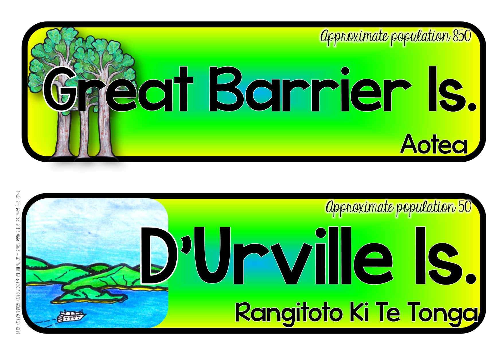
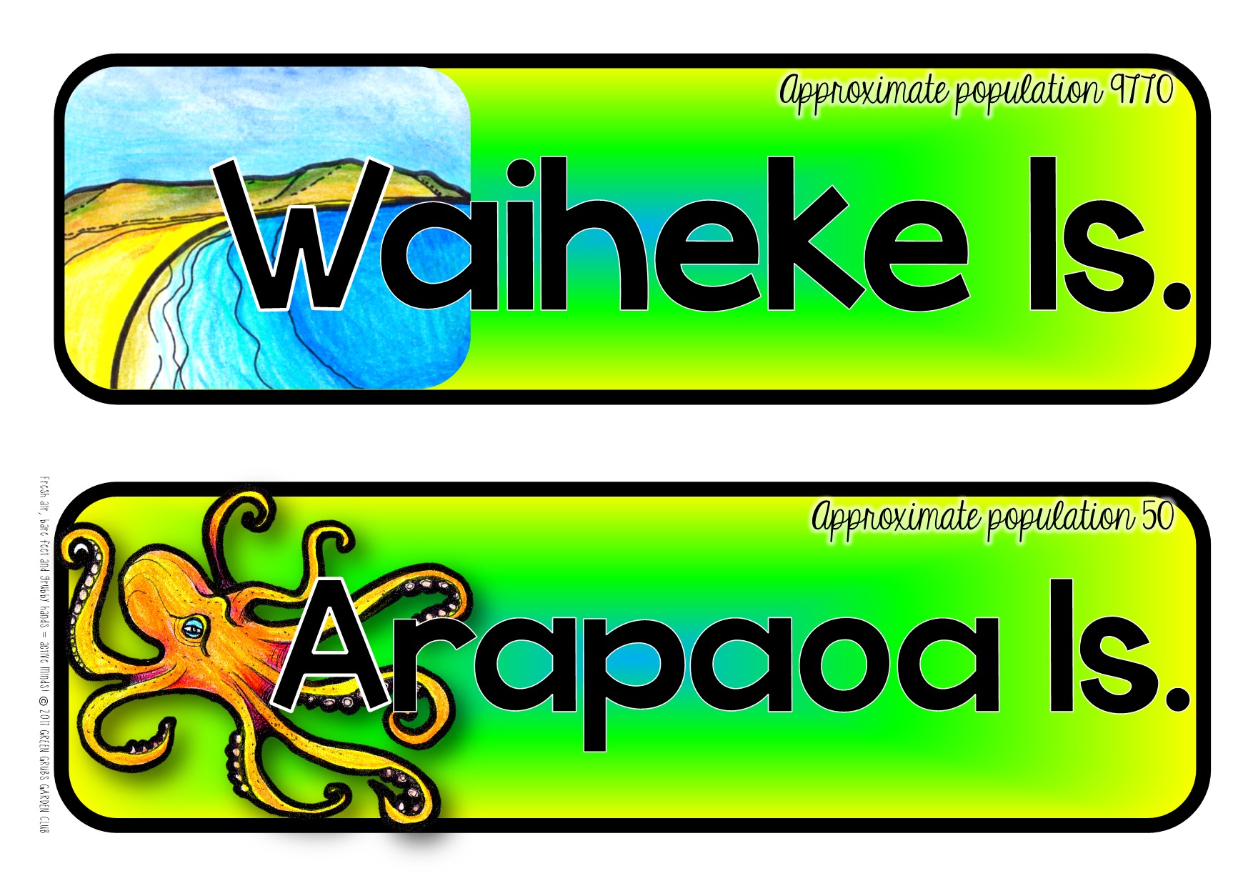
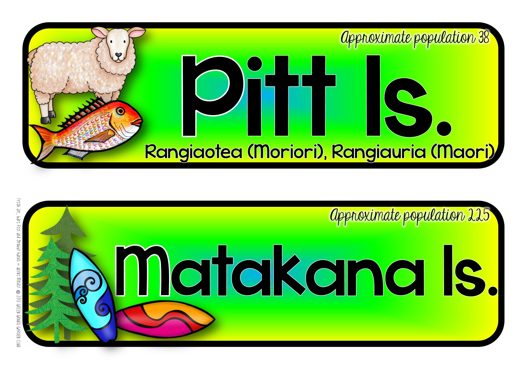
Large illustrated labels for our 11 inhabited Islands:
-
Stewart, Chatham, Great Barrier, D’Urville, Waiheke, Arapaoa, Pitt, Matakana, Raoul, Kawau & Motiti Islands.
-
Māori versions of the island’s names are also included where applicable
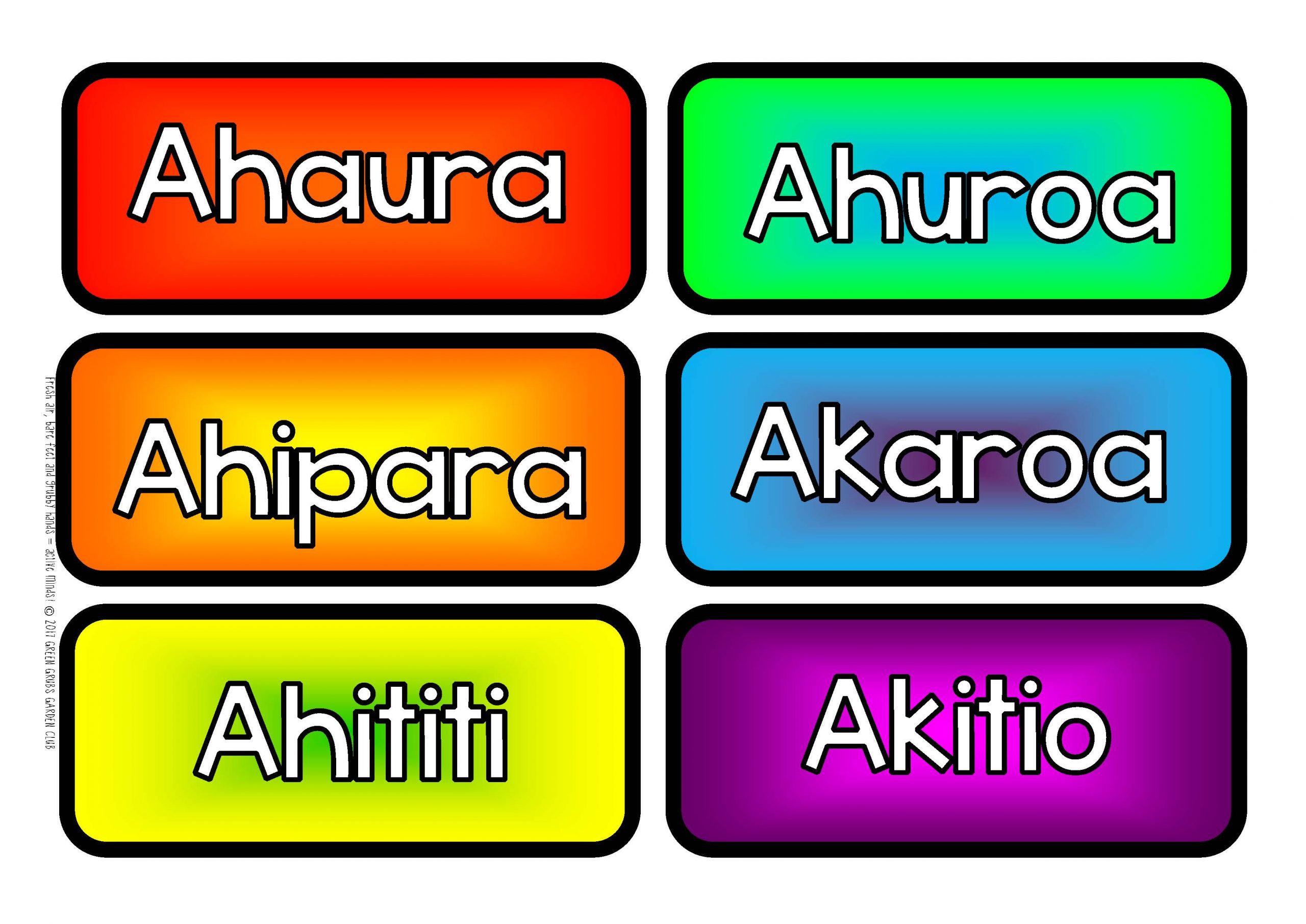
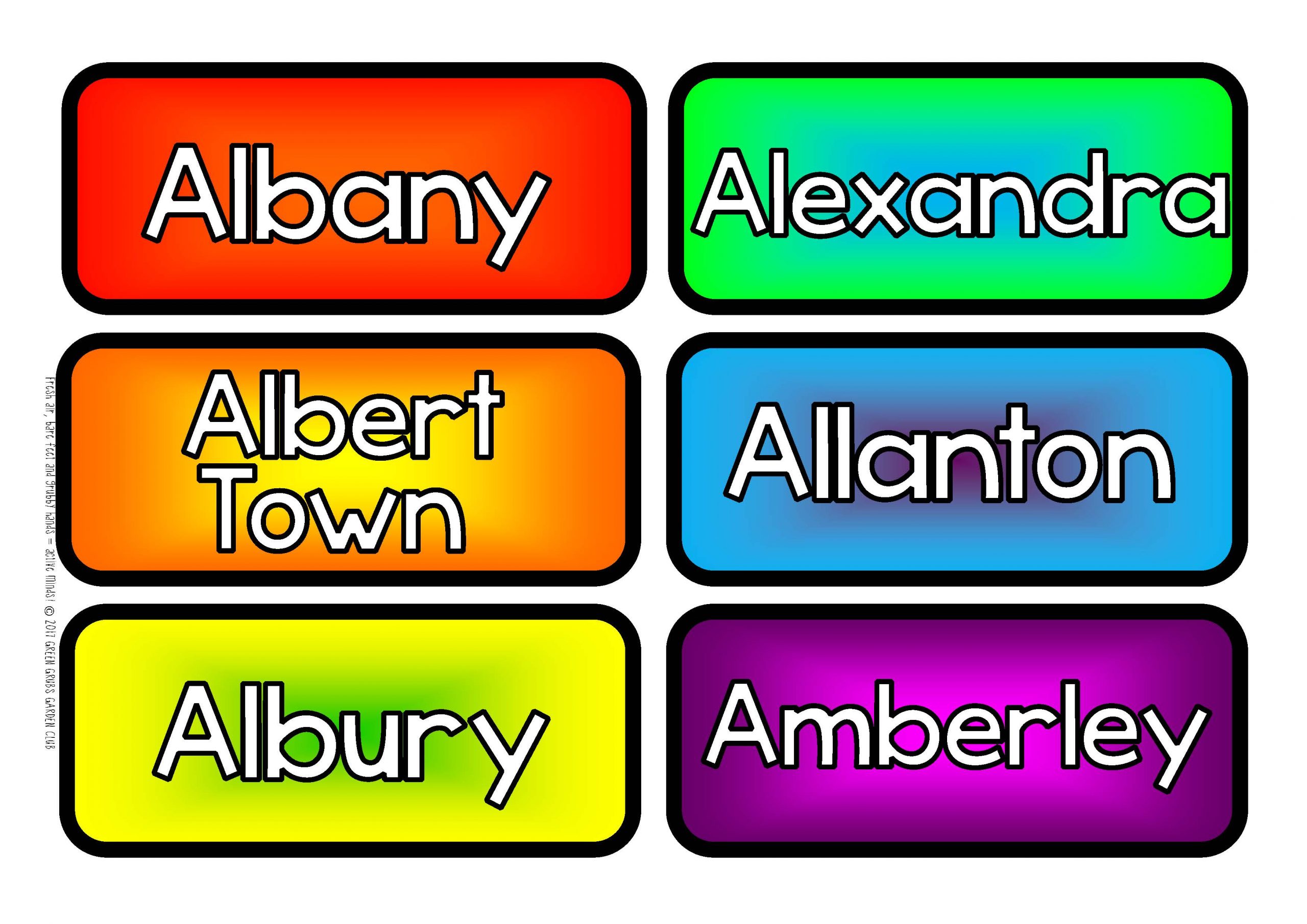
Small bright labels for our smaller towns:
-
Over 500 small towns and urban areas are listed alphabetically from A-Z!
-
Please note that some places such as Wainuiomata & Port Chalmers are within city council boundaries, and are often referred to as suburbs of their respective cities. *This set does not contain suburbs!*
-
Not sure if your little corner of Aotearoa is included? Just ask!
-
Blank labels are also included in case you’d like to detail the location of your suburb/school on the map